The Snail Trail, Buboes Field and Isolated Farm
A lovely trip suitable for experienced hikers or mountain bikers.
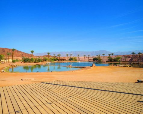
The tour starts out at “Ma’ayan Bamidbar” lodging at Kibbutz Yahel, near the kibbutz cow pen.
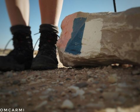
At the entrance, there is a sign with a red snail riding a bicycle. Park here and commence cycling or hiking.
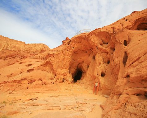
From here, you can climb to two observation points that reveal magnificent vistas of the Negev Mountains and the Edom Mountains in Jordan. Continue south to the amazing buboes field found in one of Nahal Ya’alon’s tributaries. Buboes is the ancient name for a potato. These natural buboes are a geological phenomenon of chalk concentrates containing organic matter (fish skeletons, for example) that have undergone a chemical process. A large part of the buboes can be found in the wadi and some still remain hanging on the mountain.
Here exit the wadi towards the pumping station, north of the station cross the water crossing, on the eastern side of the Arava road, where you can descend a sand dune and continue the tour northwards. Near Arandal Farm, the only isolated farm on the Arava Road, we will notice three symbols embedded in stones on the foot of the hillside on the west side of the road. The Golani Brigade emblem, the IDF emblem and Palmach emblem. The army units who participated in Operation Uvda apparently drew the emblems.It was during this operation that the Palmach Brigade and the Golani Brigade arrived at Umm Rashrash (known today as Eilat) in the Gulf of Eilat. Golani soldiers who participate in the “Golani Marathon” renew the Golani Brigade emblem from time to time.
Arandal Farm is a farm specializing in “agritourism” , agriculture and tourism. The farm was built on the remains of an IDF outpost.
At the foot of Mount Arandal, remains of Milestones were found proving that the Nabataean Spice Route passes nearby. Some believe that Arandal is one of the stations on Israelites journey after the exodus from Egypt ” and came unto Elim; and they pitched there” (Numbers 33:9) .
Near the hill is a Roman fortress, a similar fortress was discovered in the oasis of Yotvata.
Pass the farm and turn south. The route passes through open ancient biblical landscapes in front of the Edom Mountains. Continue south to the agricultural fields of Kibbutz Yahel on the border between Israel and Jordan, the international border with Jordan as determined and marked in the 1994 peace talks. The border in the Arava was first established by the British in 1922 between the Emirate, in the past, and the state of Transjordan later known as the Hashemite Kingdom of Jordan, and the territory of the British Mandate in Israel. The border was set at the lowest point in the valley. With the armistice at the end of the War of Independence, the sides adopted the route of the border, but the agricultural areas that flowed eastward were annexed to Israel. In the fields of Kibbutz Yahel you can see that the border faces east and surrounds the agricultural areas and turns westward back to the kibbutz.
The route ends at the kibbutz parking lot.